2024 Solar Eclipse poster
2024 Solar Eclipse poster
Couldn't load pickup availability
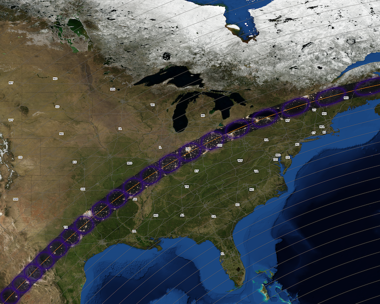
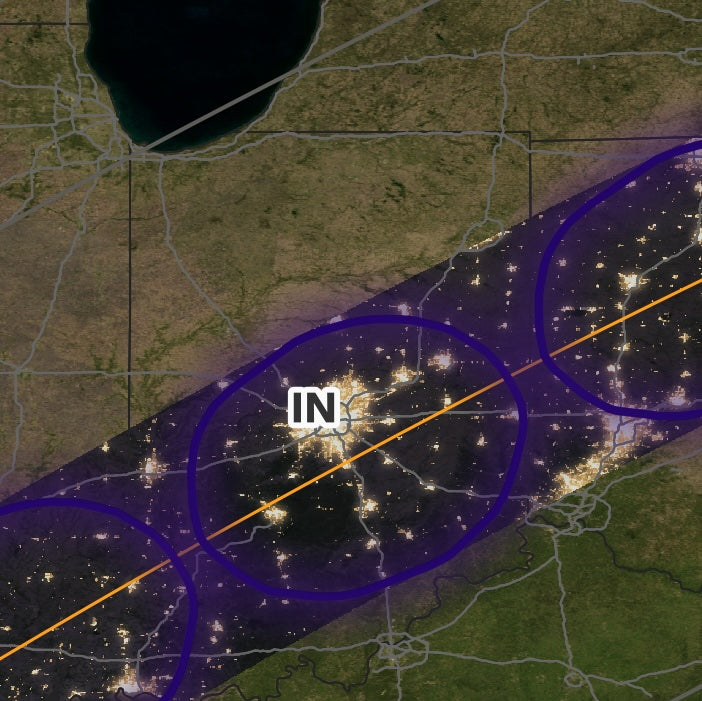
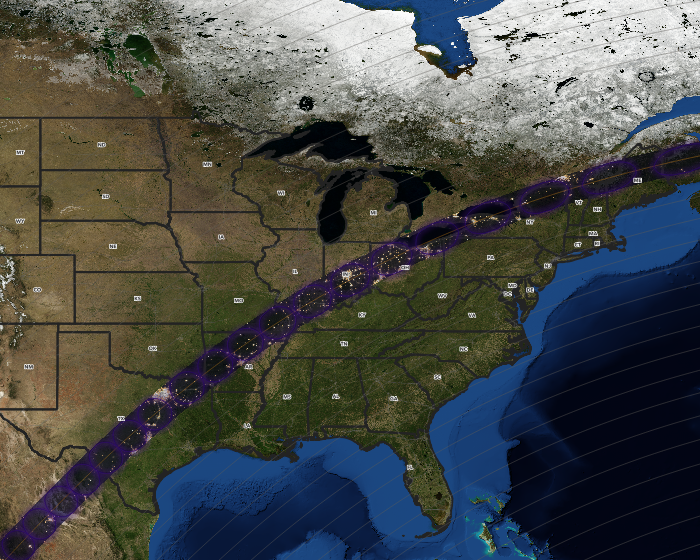
This is a 16 x 20" poster size PDF download showing the path of totality of the 2024 Solar Eclipse from where it enters the US at the Texas/Mexico border through its exit at the Maine/Canada border. It uses imagery from NASA's Visible Earth project to show the ground at night anywhere the totality will pass. Note that the totality is only over any given part of this path for between 3 and 4 minutes at a time. Places outside the path of totality are shown with daytime imagery.
Eclipse path data comes from the NASA Scientific Visualization Studio. An orange line traces the center of the path. Darker lines within the totality indicate duration of the eclipse at 30 second intervals. Places at the edges experience totality for seconds where places in the center it is minutes.
Grey lines outside the totality indicate boundaries for partial obfuscation of the sun. These bands are in 5% intervals, derceasing from 100% at totality. At the extreme northwest corner of the map, coverage is 30%. In the Southeast, it is 20%.
All US states in view are labeled, but Canadian and Mexican states and provinces are not.
Share


